Aerial Systems
High-resolution imagery, digital surface models, point clouds, and more
UNMANNED AERIAL SYSTEMS SERVICES
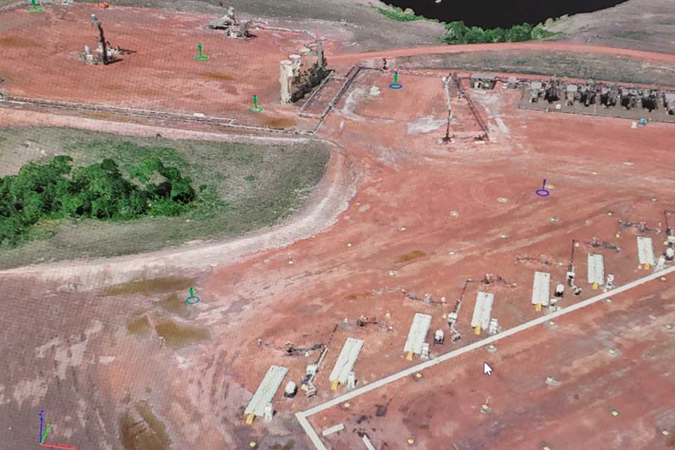
Aerial Services using unmanned aerial systems (UAS), EcoPoint is able to provide high-resolution imagery for visual representations as well as digital surface models and point clouds. From topographic maps to volumetric calculations and future design, the geospatial data products derived from EcoPoint’s UAS services will provide valuable information to you and your organization.
EcoPoint is qualified to provide data-driven UAS services, not only do we have the expertise to provide this service, but we have staff who hold pilot certificates and we have the appropriate authorizations from the Federal Aviation Administration (FAA), to conduct safe and legal UAS operations. EcoPoint is equipped and insured to provide services for both field operations and data processing.
FIELD OPERATIONS & DATA PROCESSING
- Mapping
- Plant Health Evaluation
- Species Detection
- Site Condition
- Analysis, and Volume Monitoring
- Drone mapping with aerial image, digital surface model (DSM), digital elevation/terrain model (DEM/DTM), point cloud, 3D object, report


3D GIS MODELING BENEFITS
The ability to build a three-dimensional GIS model is a vital part of a geographic information system. It’s possible to create a model using techniques such as Digital Photogrammetry and GIS modeling. By adding texture to your 3D model, you can give the data a better perspective and enhance the clarity of a scenario. This type of data is crucial for decision makers, valuators, and researchers.
One of the most important benefits of 3D GIS is the ability to model a large area in three dimensions. This allows users to see the environment in three dimensions. Those using 3D GIS modeling software can overlay spatial datasets for more accurate visualization. Furthermore, 3D GIS models are flexible and can be used to make real-time decisions about what to build. The technology will also help city planners and developers see how their plans will affect existing residents.

